The Northeastern Protected Areas Complex extends over 115,716 km2 and lies on a transition zone between two ecoregions, the East Sudanian Savanna and the vast Northern Congolian Forest-Savanna Mosaic.
The vast range of habitats has resulted in extraordinarily diversite species, including the most iconic animals of the African continent: Kordofan giraffe, lion, hippopotamus, giant eland, and elephant.
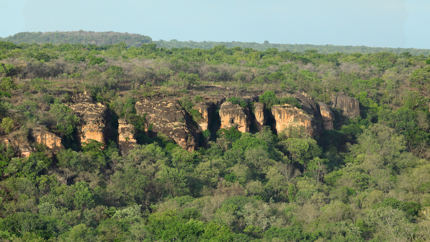
The landscape is mostly flat with outstanding elevation in the Föh mountains. The climate is tropical, and rainfall occurs in a single rainy season from June to October. It causes large-scale floods that make the area inaccessible.
Although the Northeastern Protected Areas Complex is sparsely populated, with less than eight inhabitants per km2, human-related activities remain their main threat. Transhumance pastoralism incursions, commercial poaching, wildlife trafficking, and armed rebel groups have led to wildlife population decline and civil unrest.
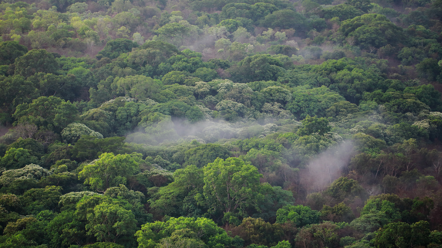
Despite these challenges, the NPAC maintains its extraordinary natural beauty , and remaining populations of key species have persisted. With the implementation of the Public-Private Partnership signed with the Government of CAR, WCS is applying a comprehensive conservation approach that addresses safety and security for both people and wildlife while enabling sustainable pathways for development.
WILDLIFE STRONGHOLDS
BAMINGUI-BANGORAN NATIONAL PARK
The Bamingui-Bangoran National Park was created in 1933 and initially was meant to protect the black rhino. The park extends across more than 11,329 km2 and encompasses the Bamingui river and a variety of habitats, among which are the shrubby savanna, woodland savanna, and grassland savanna.
The Bamingui-Bangoran is home to viable populations of iconic species of Central Africa like the Kordofan giraffe and hippopotamus, and large concentrations of herbivores such as the giant eland, hartebeest, roan, red-fronted gazelle, kob, and more.
MANOVO-GOUNDA ST. FLORIS NATIONAL PARK AND WORLD HERITAGE SITE
The Manovo-Gounda St Floris is the largest park in the Central African savanna and spans over 17,400 km2. The area was created in 1933, and initially was called Oubangui-Chari National Park. In 1935, it was renamed Matoumara National Park, and in 1940, the park received Manovo-Gounda St Floris as its final name. This protected area serves as a "crossroads", or biological corridor, for species coming from savanna communities of East and West Africa and forest communities of the South. For this reason, in 1974, the park's full extension increased from 10,070 km2 to 19,529 km2.
The landscape is made up of grassy plains, savannas, forests, wetlands, and the entire watershed of three major rivers: Manovo, Koumbala, and Gounda. The Manovo-Gounda St Floris National Park is home to the richest fauna of the country, such as the savanna elephant, wild dog, buffalo, waterbuck, and hartebeest. In 1988, it was classified as a World Heritage Site by UNESCO. Since 1997, it has been included on the List of World Heritage Sites under threat.
IDONGO-NGASSA CONSERVATION AREA
The Idongo-Ngassa Conservation Area functions as a biological corridor for wildlife between the Bamingui Bangoran and the Manovo Gounda St. Floris National Parks. Iconic wildlife species such as elephants, lions, elands, and bongo are frequently spotted across its 1659 km² of total area.
WCS defined this core conservation zone in 2020 as a novel conservation model for former hunting zones. It aims to enhance local governance and engage inhabitants in wildlife conservation, through community development, surveillance, and bio-monitoring activities.